
The system did little to prevent later manipulation. As UFD Tech noted, "The watermarks were pretty easily worked around post-generation," and the output files were "essentially glorified screen recordings" without meaningful safeguards against tampering over time.
Commenters tied the episode to broader concerns about AI rollouts.
"Of course they had to shove AI into every corner of the internet to appease the investors," one wrote. "Of course it backfired immediately partly due to the human nature, the fact that we will always find exploits — harmful or not — when given the chance."
Why does it matter?
Google Earth is widely seen as a reliable visual reference, so AI tools capable of altering realistic satellite imagery raise the stakes for misinformation, harassment, panic, and political manipulation.If fake scenes can be generated faster than they can be verified, it may become harder to tell whether an alarming image is documenting reality or manufacturing it. This can erode public trust in local news, disaster response, housing debates, and public safety discussions.
"This totally isn't something that could be weaponized to manufacture justification for whatever a government decides to do...surely," one commenter said sarcastically.
There are also climate and energy considerations amid the AI boom. While AI can help optimize electric grids, improve energy efficiency, and support cleaner systems by forecasting demand or integrating renewables more smoothly, data centers also require enormous computing power and water-intensive data center cooling. The consequences include electrical grid strain, an increase in pollution, and higher energy costs for local residents.
What can I do?
Google responded to the fiasco by removing public access to the tool after a single day of operation. Pulling a feature once abuse becomes clear can help curb damage, especially when the platform involved is one many people implicitly trust.
Entertainment
Google pulled its new Earth AI tool after one day of fake disaster images
Summary
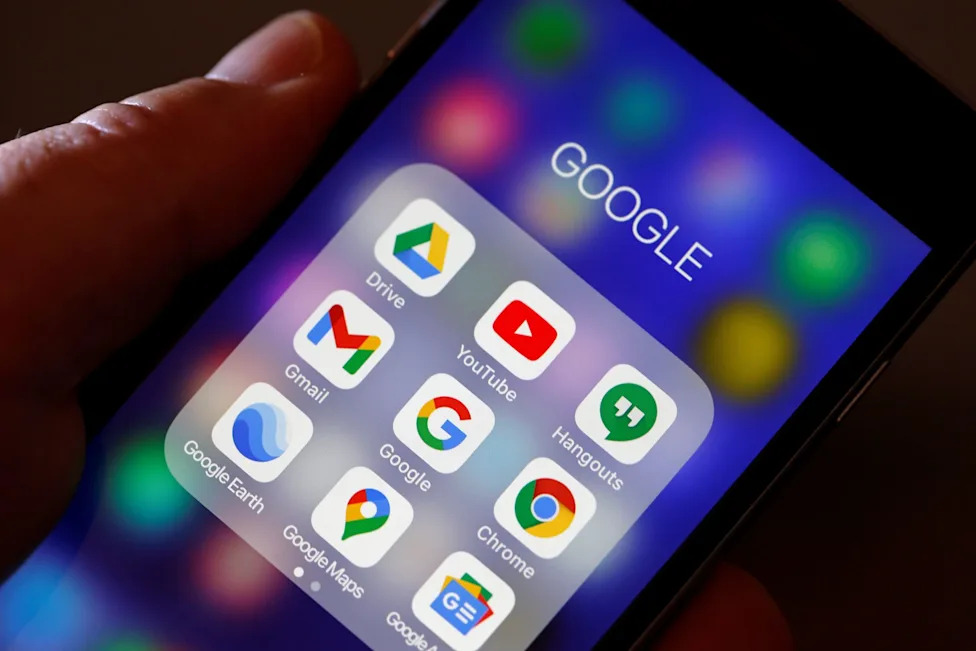
For many users, Google Earth functions as a factual window onto real places. Based on satellite imagery, the decades-old feature has allowed many users to experience the world from a never-before-seen perspective.
Content




×
![]()
Comments
Sign in to join the conversation